Beschrijving
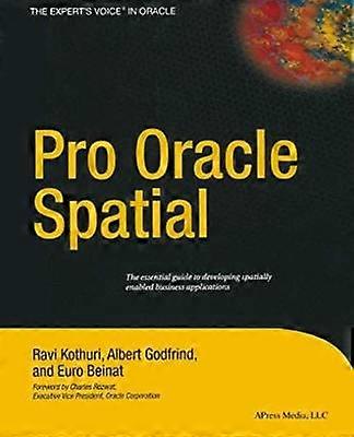
Pro Oracle Spatial
1 Overview. - 1 Spatial Information Management. - 2 Overview of Oracle Spatial. - 3 Location-Enabling Your Applications. - 2 Basic Spatial. - 4 The SDO_GEOMETRY Data Type. - 5 Loading Transporting and Validating Spatial Data. - 6 Geocoding. - 7 Manipulating SDO_GEOMETRY in Application Programs. - 3 Analysis and Visualization. - 8 Spatial Indexes and Operators. - 9 Geometry Processing Functions. - 10 Network Modeling. - 11 Generating Maps Using MapViewer. - 12 A Sample Application. - 4 Advanced Spatial. - 13 Case Studies. - 14 Tips Common Mistakes and Common Errors. - Appendix A Additional Spatial Analysis Functions. - Tiling-Based Analysis. - TILED_BINS. - TILED_AGGREGATES. - Neighborhood Analysis. - AGGREGATES_FOR_GEOMETRY. - AGGREGATES_FOR_LAYER. - Clustering Analysis. - SPATIAL_CLUSTERS. - Refining the Candidates for Site Selection. - Geometry Simplification for Speeding Up Analysis. - Summary. - Appendix B Linear Referencing. - Concepts and Definitions. - Measure. - Linear Referenced Segments. - Direction. - Shape Points. - Offset. - Typical Application. - Creating Linear Referenced Geometries. - SDO_GTYPE in LRS Geometries. - Constructing LRS Geometries. - Metadata. - Spatial Indexes and Spatial Operators on LRS Geometries. - Dynamic Segmentation Operations. - Clip a Segment. - Locate a Point. - Project a Point. - Validation of LRS Segments. - Dynamic Segmentation on 3D Geometries. - Other Operations. - Summary. - Appendix C Topology Data Model in Oracle. - Topology Data Model. - Benefits of the Topology Data Model. - Storing a Topology Data Model in Oracle. - Operating on a Topology in Oracle. - Creating a Topology. - Associating a Feature Layer with a Topology. - Inserting Updating and Populating Feature Layers. - Updating Topological Elements. - Querying for Topological Relationships. - Hierarchical Feature Model. -Summary. - Appendix D Storing Raster Data in Oracle. - SDO_GEORASTER Data Type. - Storage for SDO_GEORASTER Data. - Metadata in SDO_GEORASTER Data. - Populating SDO_GEORASTER Columns. - Manipulating Raster Objects. - Generating Pyramids. - Subsetting. - Georeferencing. - Visualizing Raster Data in Oracle MapViewer. - Summary. Language: English
-
Fruugo-ID:
337819012-741477562
-
ISBN:
9781430253051
Levering & retouren
Verzonden binnen4 dagen
Verzending vanaf Verenigd Koninkrijk.
We doen ons best om ervoor te zorgen dat de producten die u bestelt volledig en volgens uw specificaties bij u worden afgeleverd. Mocht u echter een onvolledige bestelling ontvangen of andere artikelen dan degene die u heeft besteld, of als er een andere reden is waarom u niet tevreden bent met de bestelling, dan kunt u de bestelling retourneren, of welk product dan ook die bij de bestelling was inbegrepen, en ontvangt u een volledige terugbetaling voor de artikelen. Bekijk het volledige retourbeleid

