
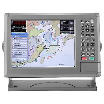
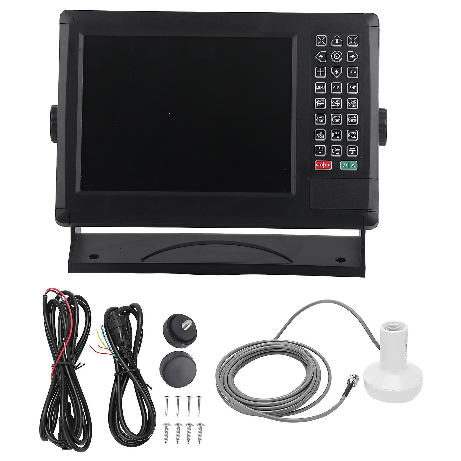
Marine Navigator,10.4in Marine Navigator Color Sailing GPS Boat Accessory Precision Engineered
GRATIS verzending
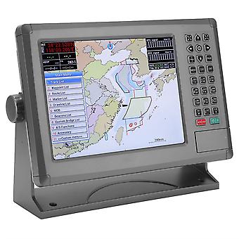
Marine Navigator,10.4in Marine Navigator Color Sailing GPS Boat Accessory Precision Engineered
- Merk: Unbranded
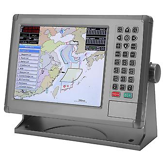
Marine Navigator,10.4in Marine Navigator Color Sailing GPS Boat Accessory Precision Engineered
- Merk: Unbranded
| Adviesprijs: | |
| Prijs: | |
| Je bespaart: | € 900,00 (40%) |
Nog maar 2 op voorraad
We accepteren de volgende betalingsmethoden
Beschrijving
- Merk: Unbranded
- Categorie: Kaartplotters en GPS voor boten
- Fruugo-ID: 278737051-619913713
- EAN: 9797733593206
Levering & retouren
Verzonden binnen10 dagen
-
EXPRESS: GRATIS - Levering tussen vr 24 oktober 2025–ma 27 oktober 2025 - GRATIS - Snelst
-
STANDARD: GRATIS - Levering tussen vr 31 oktober 2025–vr 07 november 2025 - GRATIS
Verzending vanaf China.
We doen ons best om ervoor te zorgen dat de producten die u bestelt volledig en volgens uw specificaties bij u worden afgeleverd. Mocht u echter een onvolledige bestelling ontvangen of andere artikelen dan degene die u heeft besteld, of als er een andere reden is waarom u niet tevreden bent met de bestelling, dan kunt u de bestelling retourneren, of welk product dan ook die bij de bestelling was inbegrepen, en ontvangt u een volledige terugbetaling voor de artikelen. Bekijk het volledige retourbeleid